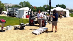
Trimble and Radiodetection have announced a collaboration focusing on the technology used in the utility measurement and mapping process. Through the integration of the Trimble Catalyst DA2 GNSS system and Radiodetection’s RD Map+ application and precision locator products, the software and hardware integration support utility-locating workflows to provide measurement capabilities for the creation of underground utilities maps in a single field operation.
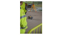
Traditionally, field technicians manually mark their measurements onsite or rely on data entries to provide to office staff for map creation after a site visit. Data collected with the Trimble Catalyst DA2 GNSS system can now be simultaneously synced with Radiodetection RD Map+ and precision locators that find and mark buried utilities. By supporting this connection, workers can digitize utility-line locations and reduce reporting errors.
“Accurate geolocation is critical to the operation and maintenance of underground utilities and public infrastructure,” said Stephanie Michaud, strategic marketing manager, Trimble Surveying and Mapping Field Solutions. “By adding survey-grade capabilities to existing utility workflows, this collaboration creates a connected solution that provides confidence and reliability during the data capture process.”
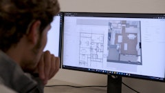
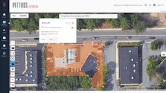
This integration supports utility measurement workflows by giving workers the capability to represent the utility asset in a digital format.
 Trimble
“We are excited to bring to the market this solution alongside Trimble as part of the Radiodetection ‘Map It Your Way’ initiative,” said Tom Turner, product management and marketing director, Radiodetection. “The Map It Your Way initiative is launching a range of solutions combining our latest digitally-enabled hardware with mobile applications to allow customers to accurately map underground utilities.”